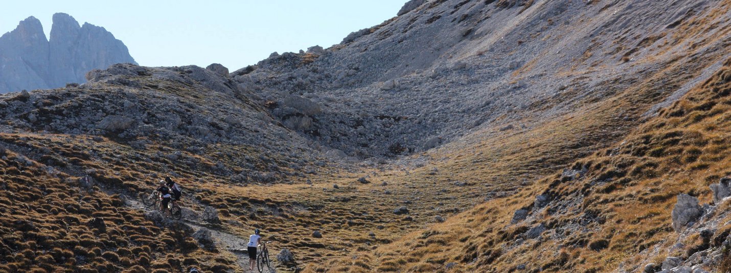
TOUR OF THE PEITLERKOFEL
From Brixen head east, cross the mighty Rienz and follow the gravel road no. 9 to Albeins. Continue straight ahead along the village road and along the Aferer stream, following the red and white signs uphill through the Aferer valley. At the "Schmied" continue on gravel path no. 10 to the car park (Fistil Boden). Continue on gravel path no. 10 in the direction of Halslhütte and then follow signpost no. 8 past the Piskolalm. Turn right at the next junction until you reach the road. Continue straight on the road for a short distance and follow road no. 29 to the left up to Würzjoch at an altitude of 2,008 metres. Continue on gravel path no. 8a to the Munt de Fornela hut. Turn left there and continue along trail no. 8b via Gömajoch until you reach the junction with gravel path no. 35. Turn right and continue along no. 35, past the Schlüterhütte and the Gampenalm. After the descent from the Gampenalm, continue right (no. 33) towards the Zanser Alm.
Continue down the valley until you reach the junction with no. 34, continue right via Ranui and St. Magdalena until you reach the road. Take road no. 27 to St. Peter. Continue left along trail no. 11 via Miglanz to Teis. The descent continues along trail no. 9 (partly road / partly gravel track), past Albeins and back to Brixen.
Your tour details on Komoot
Length, altitude, duration and difficulty - find all the key details and important information in the tour description on Komoot.

![[Translate to Englisch:] © Hannes Niederkofler [Translate to Englisch:]](/fileadmin/_processed_/4/5/csm_Panorama-Infinity-Pool-c-Hannes-Niederkofler-3339_ebcb99cb4c.jpg)
![[Translate to Englisch:] © Tobias Köhler [Translate to Englisch:]](/fileadmin/_processed_/e/b/csm_Alta-Badia-2022-Trail-Nr-15-c-Tobias-Koehler-67_d6b43f559d.jpg)
