EARTH PYRAMIDS-LERCHERALM
Difficulty
Difficult
Duration
3:24 hr./hrs.
Distance
31.6 km
Start and finish location
Hotel Innerhofer ***
Uphill
1100 m
Downhill
1100 m
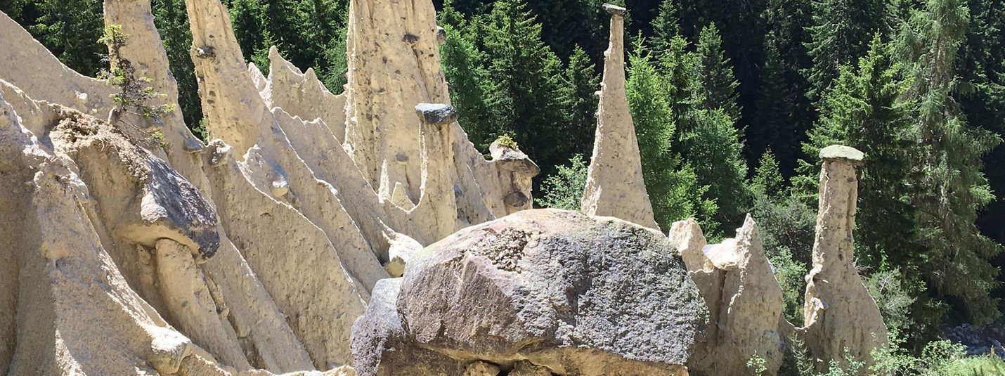
From Percha, the route follows the Wielenbach stream - a former water supplier for the town of Bruneck and for irrigating the fields - up to the Kräuterhof farm and on to Oberwielenbach. After a short breather at the earth pyramids, the route continues steeply up to the Gönneralm. A well-deserved meal later, the route leads along a forest path at first, then over trails back to Aufhofen.
Your tour details on Komoot
Length, altitude, duration and difficulty - find all the key details and important information in the tour description on Komoot.
EARTH PYRAMIDS-LERCHERALM
Tour recommendation from:
Hotel Innerhofer ***

![[Translate to Englisch:] © Hannes Niederkofler [Translate to Englisch:]](/fileadmin/_processed_/4/5/csm_Panorama-Infinity-Pool-c-Hannes-Niederkofler-3339_ebcb99cb4c.jpg)
![[Translate to Englisch:] © Tobias Köhler [Translate to Englisch:]](/fileadmin/_processed_/e/b/csm_Alta-Badia-2022-Trail-Nr-15-c-Tobias-Koehler-67_d6b43f559d.jpg)
