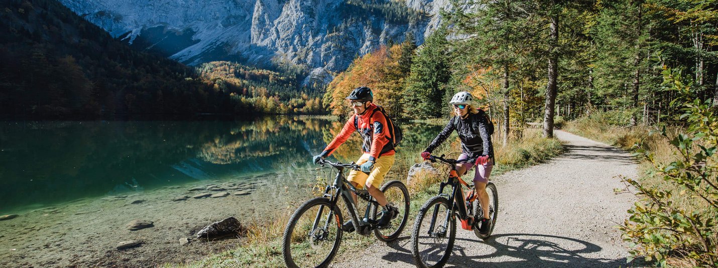
Salza Tour
From the Hagan Lodge in the direction of Altaussee on Blaa Straße to the town center, turn right on the main road to Bad Aussee, about 150 m after the police station turn left into Gartengasse at the kindergarten, turn right again onto the main road, after the hospital church turn right over the Radlingpass in the direction of Pichl - Kainisch (on asphalt), via Obersdorf on the R19 to Bad Mitterndorf, between Konsum, supermarket and Reisinger bakery on asphalt road into Öderntal, towards Kochalmbauer, along the Salza to the forest road - "Öderntal" - Rechenplatz, over bridge left through the Pyrmoos to the Salzaalmen, left to the Klaushöfl hill: highest point (1,200 m), downhill on the Schwarzwaldforststraße, straight ahead at the forks, along the lakeside road between Gößl and Wienern on Grundlsee, right to the Gößl district, right on the forest road to Toplitzsee, along the country road on the shore of Grundlsee to Grundlsee, right at the Hotel am See towards Altaussee, via Obertressen to Altaussee to the town centre, left at Maislinger bakery towards Loser Bergstraße - Blaa-Alm and Hagan Lodge - back to the start.
Your tour details on Komoot
Length, altitude, duration and difficulty - find all the key details and important information in the tour description on Komoot.

![[Translate to Englisch:] © Hannes Niederkofler [Translate to Englisch:]](/fileadmin/_processed_/4/5/csm_Panorama-Infinity-Pool-c-Hannes-Niederkofler-3339_ebcb99cb4c.jpg)
![[Translate to Englisch:] © Tobias Köhler [Translate to Englisch:]](/fileadmin/_processed_/e/b/csm_Alta-Badia-2022-Trail-Nr-15-c-Tobias-Koehler-67_d6b43f559d.jpg)
