Natural Trail in Livigno
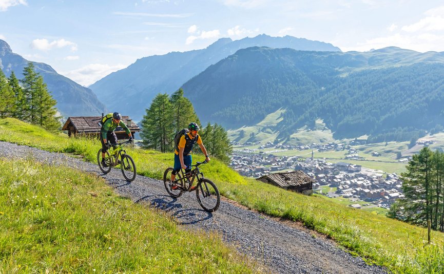
The Enduro Natural Trail on the Mottolino is the signature trail of the Livigno region. It combines everything that characterises the area, and the name itself indicates what makes it special. The trail runs harmoniously along the slope and skilfully follows the natural gradient. There are no disturbing obstacles such as stones or roots on this section of the route - instead, the focus is entirely on the flowing riding pleasure. The trail meanders gently down into the valley for around 5 kilometres, with the focus on flow and an all-round intense experience of nature.
Enduro Natural Trail
The Natural Trail in Livigno takes us through the breathtaking nature of the Italian Alps and offers a mixture of technical challenges and unforgettable views. The trail is ideal for nature and outdoor enthusiasts.
What else there is to know about the MTB single track
Fancy a few side facts about the single track? We reveal insider tips, the best photo spots and everything else there is to know about the trail.
Livigno is known for its versatility as an outdoor destination, both in summer and winter. The Natural Trail is just one of many trails in this region, which also offers numerous other mountain bike routes and trails for adventure-seekers. Livigno has an excellent infrastructure that caters to both hikers and cyclists.
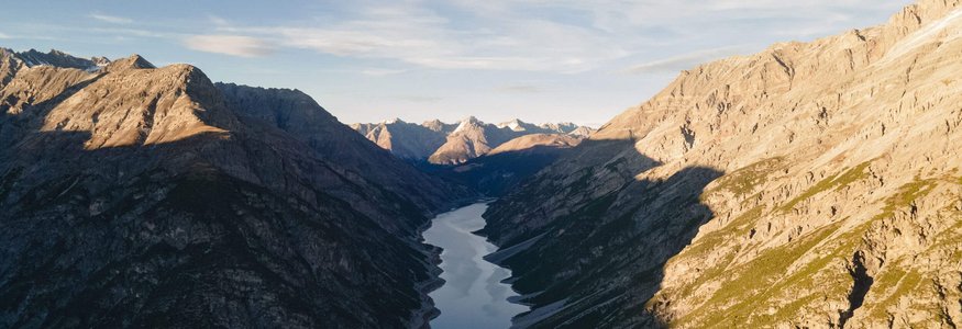
Anyone visiting Livigno in summer should definitely take the opportunity to explore the neighbouring area on foot or by mountain bike. The Lago di Livigno, a beautiful lake just a short detour from the trail, is particularly impressive and makes for a perfect photo opportunity.
The start of the trail offers a great view of the Livigno Valley and the surrounding mountains, especially at sunrise when the light bathes the peaks in golden colours.
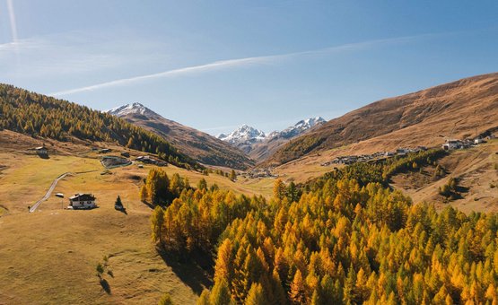
The section that leads through the forest offers spectacular opportunities to capture the natural beauty of the region - especially in autumn, when the trees change colour.
Singletrail on Komoot
Get your facts about the trail, with important details such as length and vertical metres, and start planning your next descent right away.

![[Translate to Englisch:] © Hannes Niederkofler [Translate to Englisch:]](/fileadmin/_processed_/4/5/csm_Panorama-Infinity-Pool-c-Hannes-Niederkofler-3339_ebcb99cb4c.jpg)
![[Translate to Englisch:] © Tobias Köhler [Translate to Englisch:]](/fileadmin/_processed_/e/b/csm_Alta-Badia-2022-Trail-Nr-15-c-Tobias-Koehler-67_d6b43f559d.jpg)


