DE MONTE AGNELLO
Moeilijkheid
Moeilijk
Duur
2:45 h
Afstand
23 km
Start- en finishlocatie
Bike- & Kinderhotel Maria ****
Stijging
1010 m
Daling
1020 m
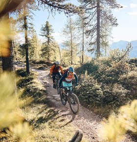
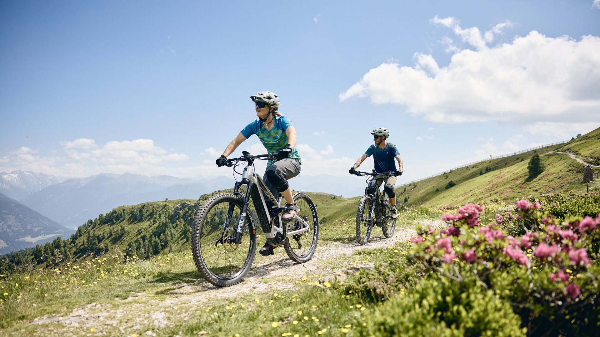
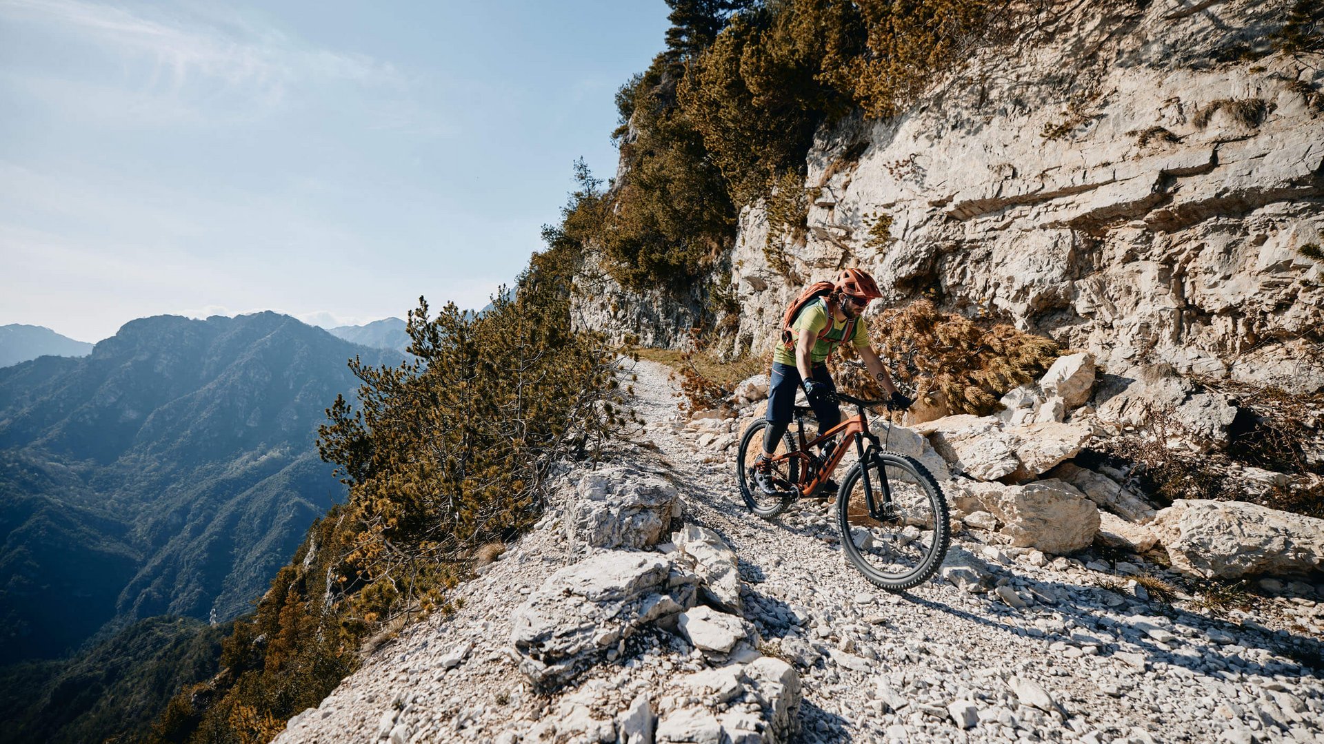
Kort en krachtig - als je de boomgrens achter je laat tijdens de beklimming van de Reiterjoch, kun je schrikken. Het reisdoel op iets minder dan 2.300 meter, inclusief de beklimming, ligt in het zicht. Het ziet er niet alleen zo uit, het is ook kort, maar echt steil voor de top. Het enige wat helpt is naar het voorwiel kijken en trappen, trappen, trappen. Er zijn onderweg verschillende bergweiden. Laat ze rechts liggen en stop pas op de terugweg. Dan gaat de beklimming prima.
Je reisgegevens op Komoot
Lengte, hoogtemeters, duur? En hoe moeilijk is de tocht? Je vindt alle belangrijke details en informatie in de tochtbeschrijving op Komoot.

